Digital Water Lab
Professor Branko Kerkez, University of Michigan-Ann Arbor, May 2021 - May 2022
During the Winter of 2022, I worked with Oakland County Michigan to create custom water level dashboards on Grafana to help remotely monitor high-risk locations to prevent flooding and maintain legal levels. I presented the groundwork for a user study to better understand how water resource managers utilize data. Data visualizations from Grafana and graphics of the map can also be seen in this presentation below.
Presentation Eschebach, T., Schmidt, J., Kerkez, B. Preventing Flooding Through Data Visualization. Presented at: Data for Public Good Symposium 6; March 2022; Ann Arbor, MI.
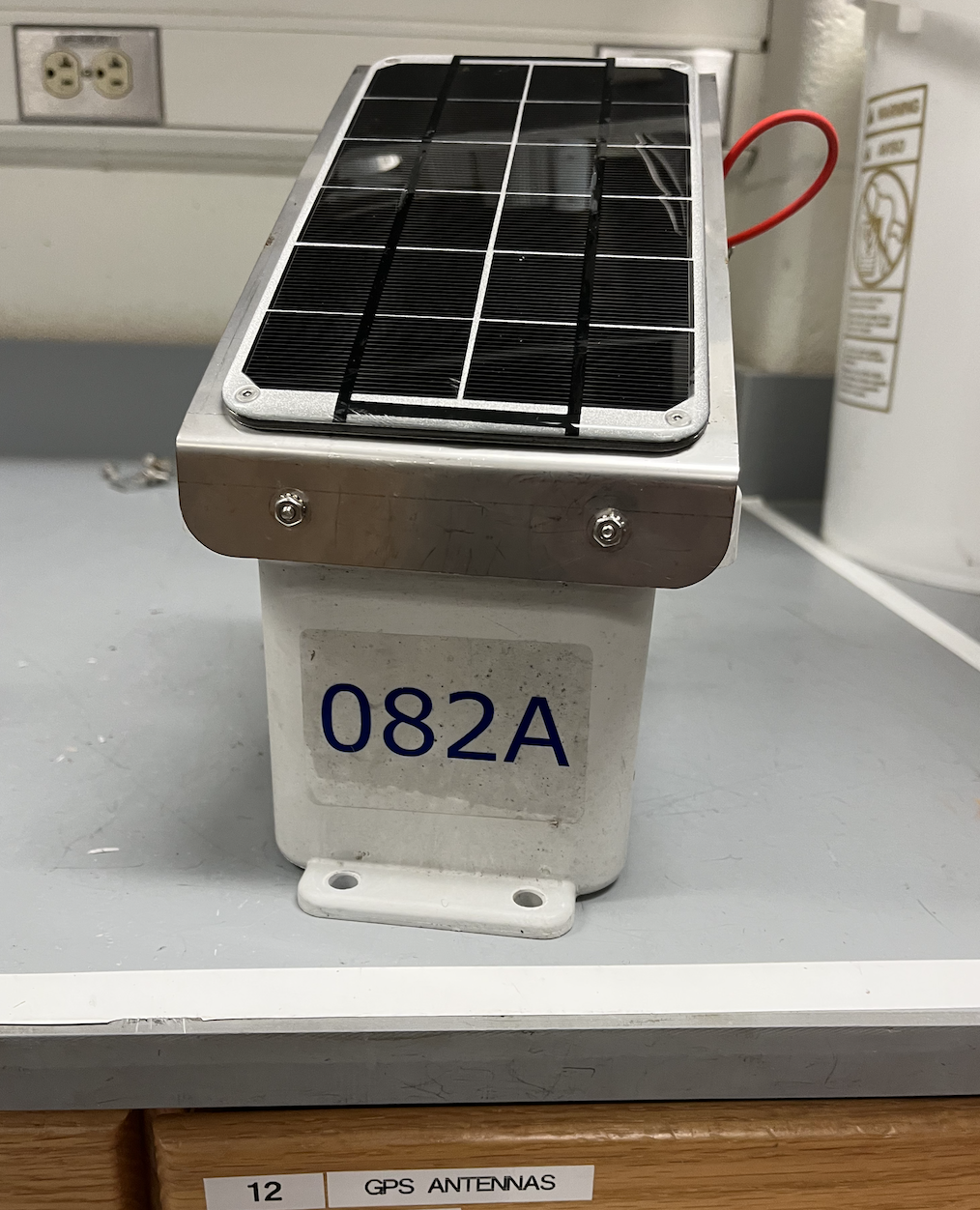
Summer of 2021 and Winter of 2022, I worked in the field surveying sites and deploying water level sensors. Within this position, I also spent time assembling the water sensor nodes. I wired together sensors, PCB, and a battery and assembled them in a casing. From this, I gained first-hand experience working with the sensors collecting the data I helped visualize. Working in the field required fast problem-solving skills to repair nodes on site and an understanding of safety conditions.

At the end of Summer 2022, I briefly led GPS surveying to get detailed elevation data at sites. I began troubleshooting issues with surveying and began to understand the impacts of trees and buildings on the ability to survey a site.
